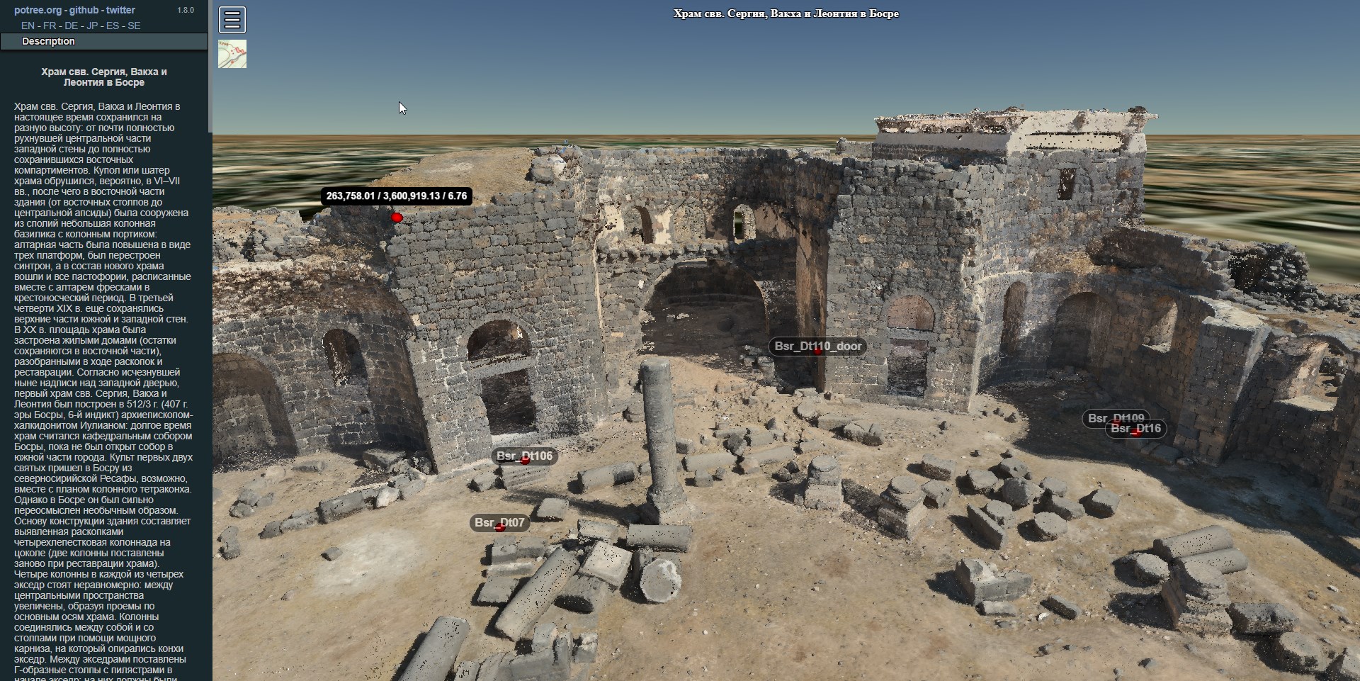
3D GIS of Early Christian Churches in Syria
I have built 2D GIS based on QGIS and 3D GIS based on Cesium, Potree and 3DHOP for historians who research Christian architectural legacy in Syria. PostGIS is used for data management, backend made with Flask.
Source 3D models provided by Syrian historians who had performed photogrammetric surveying form ground and with UAVs. Photos were processed with Agisoft Photoscan and CloudCompare software.