Set of open-source tools for advanced automated Landsat imagery processing
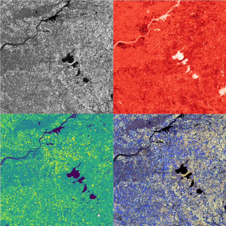
Landsat is very important source of remote sensing data. For many environmental problems we should retrieve geophysical paramaters of Earth’s surface: e.g. surface reflectance, land surface temperature, surface albedo.
Default automated algorithms are not enough for qualitative calculations. So I have implemented advanced ones, described in scientific papers.
Basic calibration and metadata retrieving
Atmospheric correction with SREM method